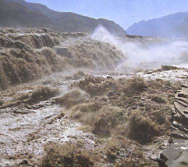
The yellow river is really the life of northern China. Its name comes from the yellow silt that it carries and distributes along the coast. It is commonly compared to a dragon because of it’s curvy path and rough temper. It also has the nickname “China’s Sorrow” because it has caused much destruction and flooding in the past and has helped stifle the economies of the yellow river provinces. Some of the devestating flooding have been caused by huge influxes of water after dams of glacial ice burst in inner mongolia. These days, aircraft drop bombs on the ice to prevent a buildup of structure that could pose a risk to the low lying yellow river towns.
The yellow river is about 3300 miles long and starts in the Kunlun Mountains in the Qinghai province. It flows from east to west down the “steps” of china. China’s far western area has the greatest elevation and that drops in a series of steps down to the eastern coasts. From highest to lowest elevation the steps are:
The Tibetan Plateau (13000 ft)
The Mountains of Sichuan (5000 ft)
The Fertile Lowlands (<5000 ft)
With this in mind, it’s easy to understand the force with which China’s rivers reach the Eastern coast.