Satellite Challenge 1

We all remember the skyline challenges of the past. This time I want to try something a little different.

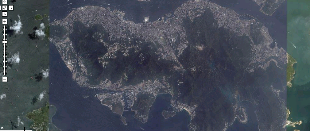
In the past, I’d show you a skyline and a satellite image and you’d have to tell me what cities were represented. This time, I’m going to show you a photo taken of a skyline and you must pinpoint the location on a map from where the photo was taken. Yeah, I think this will be challenging.

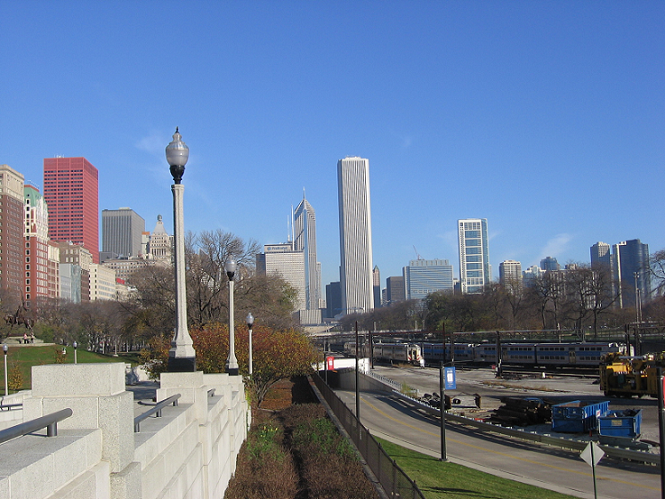
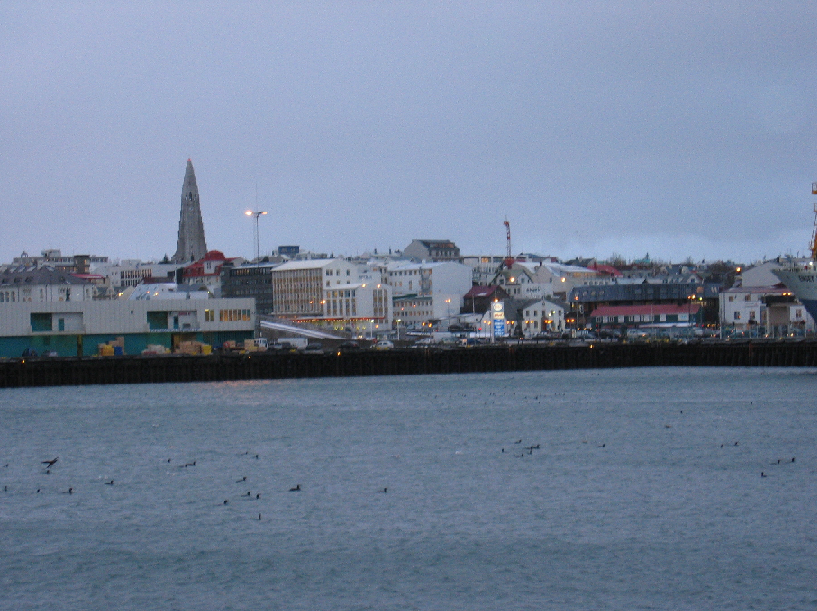
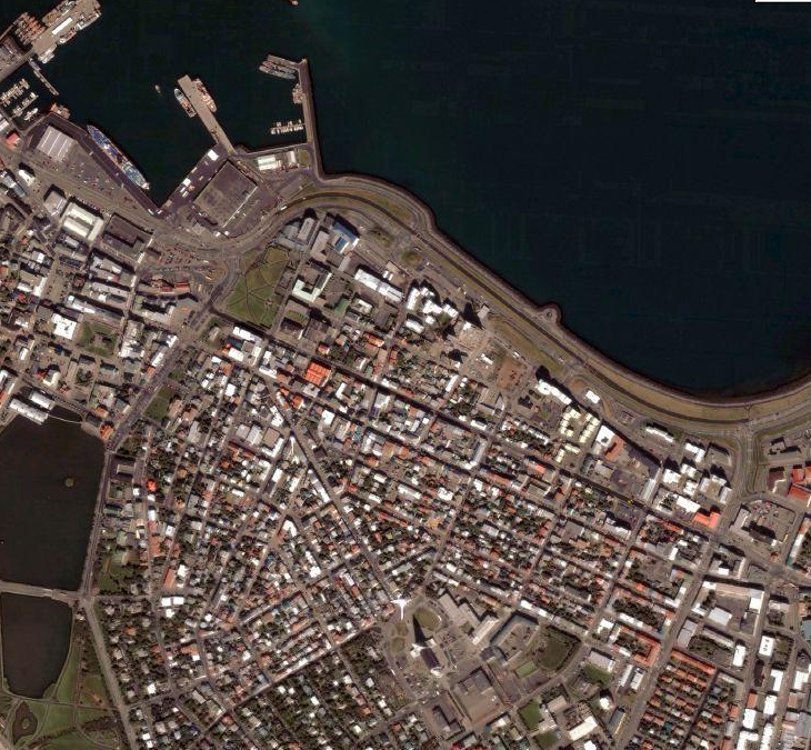
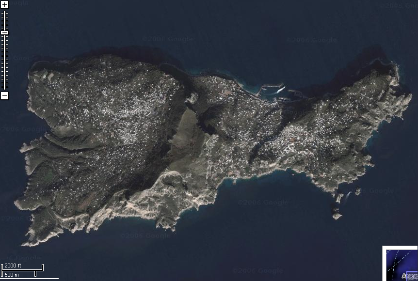
So let’s try this one first. The photo was taken in Chicago. Tell me where the photographer stood.

The photograph is here.

Also… wow. this is extremely challenging. Way more so than I had anticipated. I just tried to find the place where I took the picture, and I’m having a very difficult time. I highly recommend using street view to try and figure out how far you need to be from the monuments.

50 MikeDiDonato.com points if you are the first to identify the satellite location via Gmaps link.

Skyline 34!

So Patrick figured out the satellite from last week. It’s the island of Capri off the coast of Italy.
The skyline was Denver. Sadly no one picked that one up. (thanks to Arianne for the photo!)

New game! (WARNING: ANSWER MAY BE IN THE COMMENTS)

This particular edition of the skyline game excites me. I think it has high potential to be figured out by quite a few people.

Here’s the skyline.

Bonus points if you can provide the name of the church. Extra bonus points if you can send me a picture you took of the inside of the church.


Now, the satellite.

Bonus points if you can figure out the significance of the pier in the northwest corner.

Good luck!

Skyline 33

Wow it’s been awhile since we did one of these. Congratulations go out to Liz and Patrick for successfully guessing the last skyline and satellite image. The skyline was Providence, the satellite image was Hong Kong.

And now… This week’s challenge!

Skyline!

Satellite!

Good luck.

I need more skylines, so if you have any pictures… send ’em in!